
Srinagar: The ongoing spell of hot and dry weather in Jammu and Kashmir has significantly impacted the monsoon season, leading to major rainfall deficits in several parts of the region. However, forecasts for heavy rainfall and thunderstorms over the next 48 hours may help ease the deficit, particularly in Srinagar and surrounding areas.
According to data, Srinagar recorded its warmest June night on record with the minimum temperature touching 25.0°C. The extended dry spell has driven up both day and night temperatures throughout the region.
Rainfall data shows that districts such as Srinagar, Budgam, Bandipora, Kishtwar, and Kulgam are facing severe rainfall shortages ranging between 60% and 99%. Other areas like Anantnag, Baramulla, Ganderbal, Kupwara, and Shopian have recorded moderate deficits of 20% to 59%. Pulwama remains the only district with near-normal rainfall, registering 26.9 mm against a normal of 30.8 mm.
Independent meteorologist Faizan Arif Keng stated that relief from the current heatwave is expected to begin on Thursday and may last for three to four days. He noted that upcoming monsoon showers are likely to reduce temperatures and improve rainfall distribution—especially in Jammu, where intense rain is expected in the next 24 to 48 hours.
Wednesday’s recorded temperatures were notably high: Srinagar at 32.5°C, Qazigund at 30.2°C, Pahalgam at 27.4°C, Kokernag at 30.8°C, Kupwara at 32.8°C, and Gulmarg at 23.2°C. In the Jammu region, Jammu city stood at 32.6°C, Banihal at 27.7°C, Batote at 26.2°C, Bhaderwah at 30.6°C, and Katra at 29.0°C.
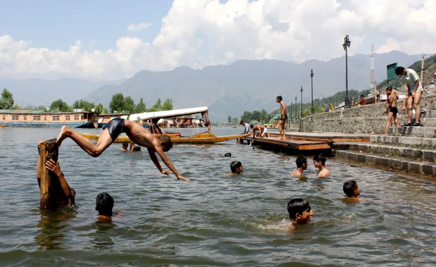
Monsoon showers were reported in parts of Srinagar and other areas of Kashmir on Wednesday morning. According to the weather department, the Kashmir Valley is also expected to receive additional rainfall over the next two days, while heavy rains are likely to continue in Jammu over the next 24 to 48 hours. (KNO)